HUGApp
 |
2016-2016. An application to help you find us. |
This pilot project named HUGuide Ambulatory Pilot Project (HUGApp) aims to provide a proof of concept example of navigational aids implementation using ambulatory care as the initial setting. This project relies on a strong collaboration between the Division of primary care (Department of community medicine, primary care and emergency medicine, Geneva University Hospitals) and the Travelling and Mobility (TaM) R&D team of the University of Geneva.

The role of the TaM R&D team in HUGApp (HUGuide Ambulatory Pilot Project) is to investigate the navigational needs in the HUG (Geneva University Hospitals) and provide a proof of concept of navigational aids mobile application, using ambulatory care as the initial setting. The two main goals of the project are:
- Identify the navigational needs and requirements of people within the premises of the HUG
- Create a proof of concept of an indoor navigation mobile app
In order to achieve the first goal, which is the identification of the navigational needs of people in the HUG, a questionnaire was carefully designed and distributed within the Division of primary care (Department of community medicine, primary care and emergency medicine, Geneva University Hospitals). The questionnaire’s goal was to offer a good understanding of the current problems in wayfinding inside the hospital, investigate the users’ views on the creation of an indoor navigation mobile app, and specify the users’ requirements for such an app.
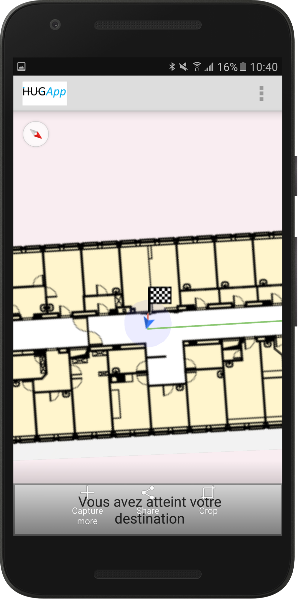
The second goal of HUGApp was the creation of a proof of concept of an indoor navigation mobile app. The second floor of “Building A” and “Liaison Building”, were defined as the test areas in which the system would be deployed and tested. A mobile application that offers positioning and navigation services to the user is created.
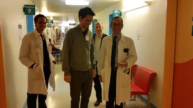
The designed questionnaire was sent to 169 members of the Division of primary care of the Department of community medicine during the period November-December 2016.
Firstly, it was indispensable to report the current situation in the HUG, in order to understand and evaluate the problems that people face when trying to find their way in the hospital. Apart from registering the current wayfinding limitations, it was of great interest to identify their repercussions in peoples’ life and work. Lastly, in addition to identifying the problems and their repercussions, a look towards the potential solutions was necessary to take place, with a close collaboration with people who work daily in a hospital environment. For this reason, a study of the methodologies that people are willing to try and accept, is indispensable before they are put into action.
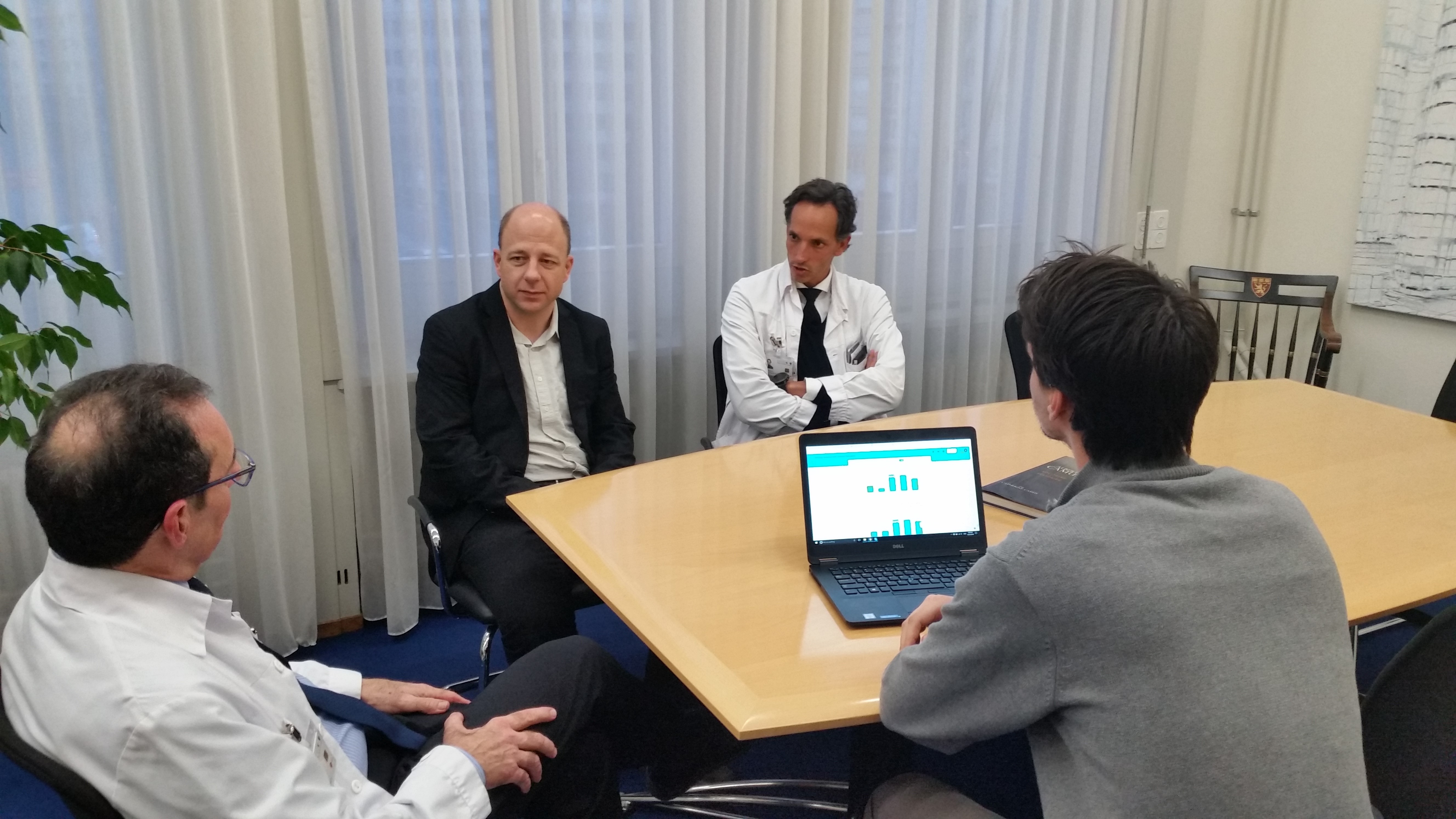
Out of 169 eligible collaborators, 111 (65.7%) answered the questionnaire, 61.3% were completed by physicians, 56.7% of collaborators had >5 years of work at Geneva University Hospitals, 70.5% were female, while the mean age was 39.5 years (SD 10.3). The majority (52.3%) of the participants answered that they had faced difficulties in finding their destination in the hospital (36.9% occasionally; 14.4% often, 0.9% all the time). Only 9.9% answered “never” and 37.8% “rarely”. On average, participants estimated that they spent 11.7 minutes per week on searching for their destination or answering questions of others trying to reach their destinations. About 70% of the participants reported that the difficulty of finding one’s way in the hospital could be a source of stress for staff members. The participants expressed a very positive view over the prospect of the creation of an application for mobile phones that would guide staff to their destination in the hospital.
The second main task of the HUGApp Pilot project was the creation of an indoor navigation application for mobile phones, which would exemplify the use of such technologies. A mesh of Bluetooth Low Energy (BLE) beacons was deployed at the test field in the hospital, to support the functioning of this mobile app.
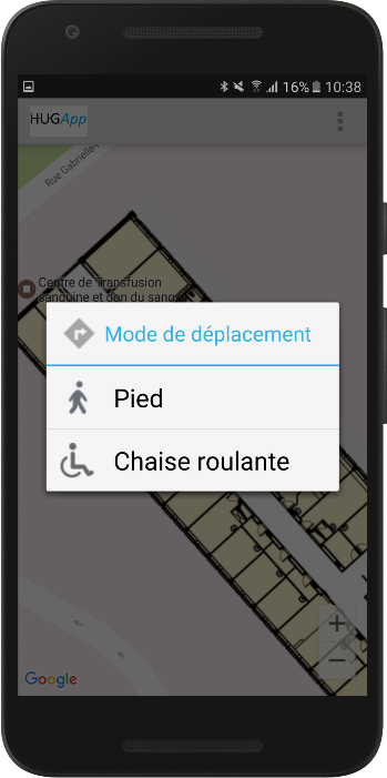
The application can be customized to take into consideration the mobility limitations and the language preferences of the user.

A list of all available Points of Interest (POI) is available to the user. The user can start typing the name of his destination, so that only matching POIs remain in the list, and/or eventually select his destination.
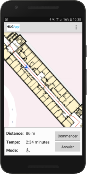
When the user selects his destination, information regarding the distance to the destination and the estimated time to arrive there is shown to the user.
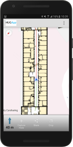
The path that the user should follow is displayed in red. As the user advances, the part of the path that has been travelled becomes green, leaving the remaining path to be red. Arrows appear at the bottom of the screen, informing the user if he should turn, in how many meters, etc. An additional feature is the option of the verbal instructions. The user may listen to instructions like “in ten meters turn right” and be guided, without having to keep looking at the screen.
